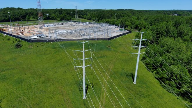
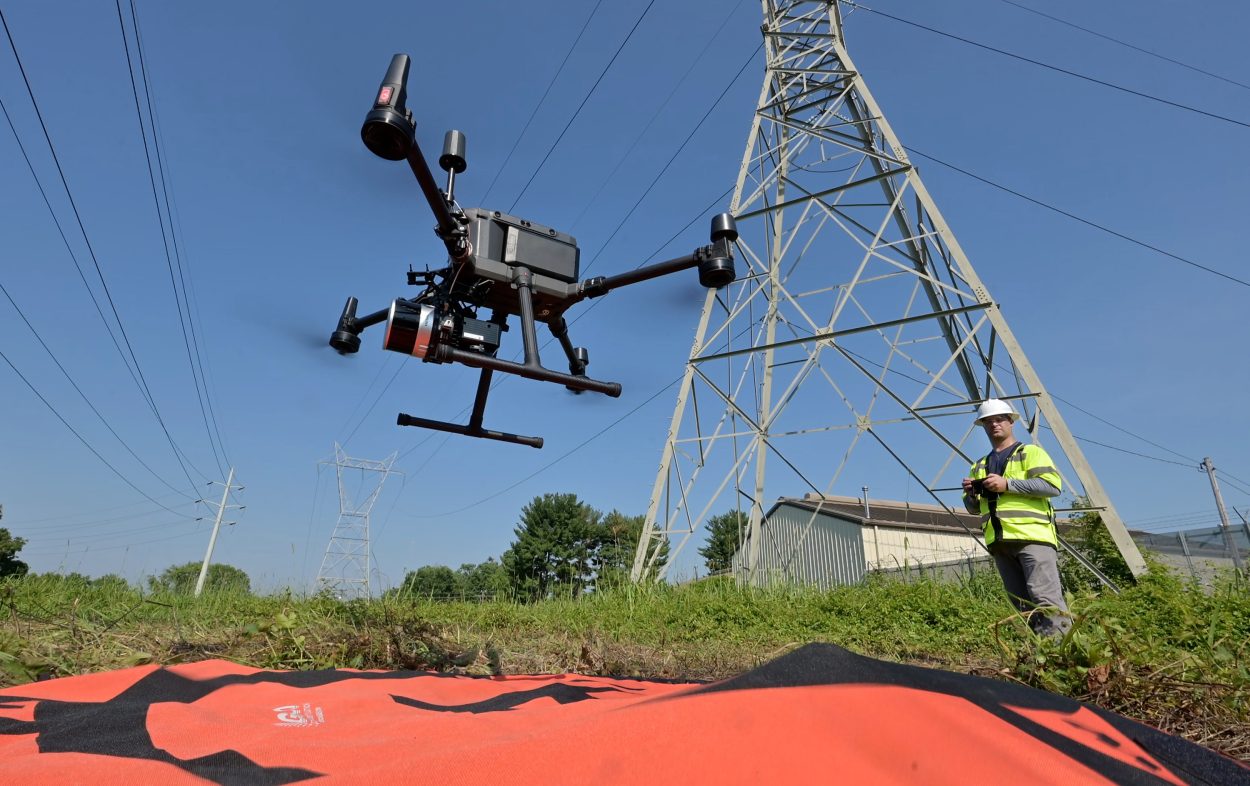
Throughout BGE’s service area our vegetation management team is leveraging cutting-edge LiDAR technology mounted on uncrewed aerial systems (UAS), commonly known as drones, to monitor and manage vegetation growth around critical transmission infrastructure.
LiDAR, or Light Detection and Ranging, is a powerful sensor that emits hundreds of thousands of laser pulses per second. These pulses bounce off surfaces to create a detailed 3D model of the environment, essentially a digital twin of our system. This allows our team to precisely measure how close vegetation is to power lines, helping to prevent potential outages and ensure system reliability.
Drones are fully electric and quieter than flying a manned aircraft—minimizing disruption to nearby communities.
This technology gives our team a clearer picture of where vegetation is fastest growing, enabling more efficient deployment of trimming crews. By targeting high-growth areas, we can proactively reduce the risk of outages and maintain the reliability our customers depend on.